The winding highways leading into the Lake Tahoe Basin offer staggering vistas: snow-dusted Sierra peaks, lush alpine forests, and 192 square miles of improbable blue water spanning the Nevada-California border.
But, during peak winter and summer seasons, your most-likely view may be of someone else’s bumper.
Traffic into, out of, and within the Tahoe Basin has gotten so severe that local planning agencies have launched an all-out assault on it through the 2017 Linking Tahoe: Regional Transportation Plan. The first phase won this year’s American Planning Association’s Achievement Awards for Transportation (Gold), using big data to measure traffic impacts in the great outdoors.
To solve a traffic bottleneck, many planners opt to increase capacity by building bigger roads. But in Tahoe, that’s not an option. Tahoe’s 1982 Bi-State Compact, which strictly regulates land use, effectively took road expansion off the table.
“We made a commitment a long time ago not to develop the land anymore,” Nick Haven, the Tahoe Regional Planning Agency (TRPA) Long Range Planning and Transportation Division Manager, said. “We’re not building our way out of this.”
That pledge has led to congestion. And congestion risks more than inconvenience: idling vehicles puff particulate matter that fouls the air and threatens the lake’s world-renowned clarity.
“Tahoe can handle a lot of people. It cannot handle a lot of vehicles,” said Carl Hasty, District Manager of the Tahoe Transportation District (TTD). “We need to get people out of their cars, and onto transit.”
“But that starts with finding out: where are people traveling from, and where are they trying to go?” said Hasty.
To answer these questions, TRPA and TTD – along with the planning firm Stantec Consulting Services – embarked on a two-year mobile data collection and analysis project. Their insights informed Linking Tahoe, TRPA’s 2017 cross-regional multimodal transportation master plan.
The project didn’t just catch the attention of the APA’s awards jury – it set a new precedent for data-backed planning.
In 2015, while preparing for a master plan update, TTD and TRPA agreed they had a data problem: they simply didn’t know how many cars used the basin’s roads in a given year. It’s a challenge that many transportation engineers face – but the region’s layout and governance made data collection particularly tough.
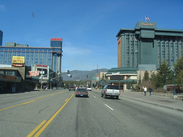
Roads around Lake Tahoe are not always so clear.
Both agencies span the region’s two states, five counties, and two cities – and each entity supplied different traveler population metrics. Estimates gathered from hotel taxes and traffic counts put annual visitors at 8-10 million. But hotel tax measurements exclude day-trippers. And biweekly car counts, designed to measure regular commuter patterns, doesn’t scale accurately with the flux of seasonal traffic.
“The folks at TRPA had this suggestion,” Hasty said. “They asked: what if we could use big data to capture a larger visitation story?”
They found their story in cell phone data. With help from Stantec, the agencies connected with AirSage Analytics, which uses wireless signal data from cell phone carriers to analyze traffic mobility patterns. Once an idling cell phone enters a given region, it gives off a signal to local cell towers. AirSage processes and analyzes these signals, matching origin-destination pairs to classify devices into user groups: commuters, residents, or visitors.
Working with Stantec, TTD and TRPA bought six data sets for each user group during the peak visitation months of February, July, and August. The first four sets analyzed how people entered and exited the area, where they came from, and how long they stayed. The last two tracked movement within the region, measuring the number and types of trips between specific locations.
The analysis offered a more comprehensive look at movement into and around the basin – and the agencies weren’t always prepared for what they learned.
The first shock came from visitor counts. TTD and TRPA thought they were struggling to accommodate 8-10 million annual guests. But AirSage showed that Tahoe in fact attracted 25 million travelers per year – two and a half times previous estimates. Counting an average of 2.5 visitors per vehicle, that equated to 10 million vehicles on the roads per year.
“Probably the biggest challenge was getting the client to have faith in the data,” Stantec’s project lead Cynthia Albright said. “They asked us to go back and check our numbers, which of course I had already done.”
According to Albright, the agencies finally got on board when Stantec demonstrated correlations between the two analyses.
“We brought in traffic engineers who could look at the data sets side-by-side and explain how the old data actually supported the new data. AirSage simply offered a bigger picture,” she said. “We also found that 43 percent of visitors were day visitors and not recorded as hotel stays, which explained part of the gap. Put together, the figures made sense.”
“We’re still reconciling that number,” Haven admitted. “We knew our day-visitor market was booming. But we didn’t know by how much.”
The next surprise came from cross-comparing with transit counts: transit comprised merely 1.4 percent of the 80 million trips within the region in 2014.
To explain the lack of transit riders, Albright pointed to changing ridership needs. “Most regional transit options are built for inbound and outbound commuters, not for all these visitors who want to navigate around the lake,” she said.
The analysis also exposed a serious parking shortage: the entire bi-state region offers only 18,725 public parking spaces. On a busy summer day, roughly 126,881 vehicles enter the basin – seven times the number of spaces. This scarcity worsens congestion, as vehicles prowl for available spaces, many of which are especially scarce in places that are attractive to day-trippers.
But the data didn’t just reveal problems; it offered insights to solve them. For example, to identify popular areas within the basin, Stantec charted all trip endpoints in a given month onto a GPS map of the region. Overlaying transit ridership metrics onto this map, the team discovered seasonal high-activity zones, or “hotspots,” underserved by transit.
One hotspot in an unlikely corner of Pioneer Meadows pointed the team to a popular mountain biking destination. So they didn’t just propose a new bus line to the Meadows – they recommended fitting buses with bike trailers.
The findings also helped address the parking gap. Examining high-traffic areas, the team proposed transforming lots into “mobility hubs”: places visitors can leave their vehicles and link to a network of bikes, buses, rideshare services, and ferries.
TTD and Stantec assembled solutions into a “Corridor Connection Plan,” which split the region into six cross-jurisdictional corridors according to land use and transportation needs.
“The Corridor Connection Plan helps mobilize different partners around common projects,” Haven said. For instance, to build a bike trail along the Highway 28 corridor, TTD will work with the General Improvement District, California State Parks, the Forest Service, and Placer County.
“That’s a lot of cats to herd. The plan gets people in alignment.”
The Linking Tahoe transportation master plan offers a bigger picture, targeting three multimodal priorities: “trails, transit and technology.” Its major proposals include a continuous bike trail around the lake, linked bus and shuttle services, and real-time parking availability updates.
It sets an ambitious new goal: to reach 20 percent active or transit mode share in the next 20 years. That’s a far cry from current estimates of 1.4 percent. But if it’s reached, the region will take seven million cars off of the road.
“That number helps us send our message.” Hasty said. “Now we’re involved in the hard work of making it happen.”
In awarding their Transportation Planning Prize, the APA jury saw the promise of using big data to solve inter-regional transportation problems: if a place as complex as Tahoe could make it work, other areas should take note.
“The jury always asks: how transferable is the project to other localities?” said APA jury chair Wendy Shabay. “This project showed that planning doesn’t stop at jurisdictional boundaries. We saw opportunity for planners nationwide to get smarter about linking people across regions.”
For Albright, the project’s success story is simple: it improves visitor experience while still protecting the famous clarity of the lake.
“The less time people spend in their car, the more time they’ll get to enjoy the view,” she said. “And the fewer cars on the road, the better that view will be.”
Contacts & Resources
American Planning Association 2019 Achievement Awards
2017 Linking Tahoe: Regional Transportation Plan
Nick Haven, Long Range Planning and Transportation Division Manager, Tahoe Regional Planning Agency, nhaven@trpa.org
Carl Hasty, District Manager, Tahoe Transportation District, chasty@tahoetransportation.org
Cynthia Albright, Principal Urban Planning & Design, Stantec Consulting Services Inc., cynthia.albright@stantec.com
Wendy Shabay, Planner, Freese and Nichols, wds@freese.com
Prior CP&DR Coverage of Lake Tahoe
Will A New Regional Plan Keep Tahoe Blue?
TRPA wins Tahoe plan update approval
Image courtesy of Ken Lund via Flickr.
